-
Maxar Partners with Anduril to Support U.S. Army’s Mixed-Reality Combat System

Maxar Intelligence is partnering with Anduril Industries to develop a mixed-reality command system for the U.S. Army, utilizing advanced 3D geospatial technology. This collaboration aims to integrate real-time operational data into soldiers’ field of view using specialized headsets, enhancing their situational awareness on the battlefield. The system leverages Maxar’s terrain models within Anduril’s AI-driven Lattice…
-
Finland Procures ICEYE SAR Satellites to Boost Space-Based Surveillance

ICEYE has signed a contract with the Finnish Defence Forces for synthetic aperture radar (SAR) satellites, enhancing Finland’s autonomous surveillance capabilities. This agreement follows a previous Letter of Intent and includes infrastructure for independent operation. The signing, attended by key officials, emphasizes Finland’s security innovation and long-term cooperation. Valued at approximately €158 million, the deal…
-
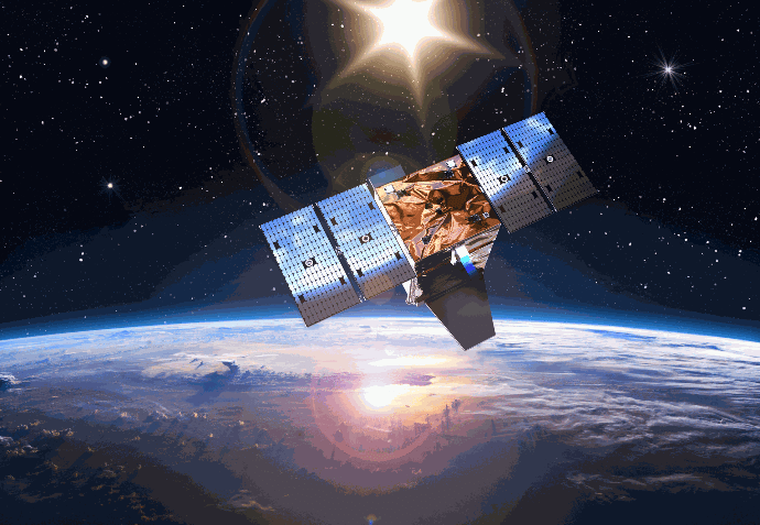
ICEYE Names Yasuhiro Tsukahara as CEO of ICEYE Japan

ICEYE has appointed Yasuhiro “Pete” Tsukahara as CEO of ICEYE Japan, aiming to enhance its presence in the country. This strategic move focuses on partnerships with government, commercial, and academic sectors to provide synthetic aperture radar (SAR) data for Japan’s national priorities, including disaster response and infrastructure monitoring. Tsukahara will lead efforts to support local…
-
Andøya Space and Rheinmetall Nordic Sign LOI to Strengthen European Space Capabilities

Andøya Space and Rheinmetall Nordic AS (RhN) have signed a Letter of Intent (LOI) to enhance Europe’s civil and military space capabilities. The partnership aims to deliver responsive satellite deployment solutions and secure space infrastructure. With a focus on strengthening the satellite and launch value chain at Andøya Spaceport, the collaboration will enable both commercial…
-
ICEYE Enhances Multi-Peril Detection with Earthquake and Fire Following Capability

ICEYE has launched an enhanced multi-peril change detection capability that combines earthquake and fire-following assessments, initially for California. This integration offers insurers accurate insights into structural impacts, facilitating faster claims processing and better loss validation after complex events. Utilizing continuous SAR pre-imaging, ICEYE rapidly detects earthquake impacts and follows up with targeted fire assessments using…
-
General Atomics and Kepler Demonstrate First Air-to-Space Optical Communications

General Atomics Electromagnetic Systems (GA-EMS) and Kepler Communications US, Inc. successfully demonstrated air-to-space optical communications. A GA-EMS optical terminal on an aircraft established a secure, two-way link with a Kepler satellite in low Earth orbit, adhering to the Space Development Agency’s Tranche 0 standard. The system achieved effective tracking and data transfer, enhancing data resilience…
-
Astrobotic’s Reusable Launcher to Begin Flights from Andøya Space

Andøya Space has signed a Term Sheet with Astrobotic Technology, Inc. to introduce the Xodiac reusable launch vehicle to Norway, marking the first U.S. reusable rocket to launch from continental Europe. Initial operations are expected to start in 2026. This partnership aims to establish Andøya as a center for next-generation space projects, enhancing access to…
-
ICEYE and SATIM Unveil AI-Powered “Detect and Classify” Solution for SAR Imagery

ICEYE has partnered with SATIM to launch Detect and Classify, a product combining synthetic-aperture radar (SAR) imaging with AI-driven recognition models. This innovation enables rapid identification and categorization of vessels, aircraft, and ground vehicles, boasting over 90% accuracy. The tool aims to enhance situational awareness by providing both imagery and analysis, reducing the time needed…
-
Aerospace Lab and JAXA Collaborate on Pioneering Earth Observation Mission
Aerospace Lab announced a partnership with JAXA for the Earth observation project SAMRAI, focusing on coordinated flight between two satellites. This technique allows them to function as one larger instrument, capturing high-resolution imagery. Aerospace Lab will provide the satellites, aiming to advance space technology and enhance Earth observation capabilities.
-
ICEYE Satellite Technology Pivotal in Rio Grande do Sul Flood Response

The government of Rio Grande do Sul utilized ICEYE’s Synthetic Aperture Radar technology to effectively map flooded regions and enhance humanitarian aid distribution following severe floods in June. This collaboration enabled real-time flood analysis, rapid emergency response, and allocation of R$4 million to support affected families through the “Volta por Cima” program.